
Land Surveying
HEB’s licensed land surveyors provide responsive and high-quality services to municipal, state, and federal clients, commercial businesses, and private landowners throughout northern New England.
Respected for their integrity, accuracy, and expertise, our surveyors utilize state-of-the-art surveying and GPS equipment, which enables us to deliver precise information. A key resource: our in-house records, detailing more than 80 years of surveying in northern New Hampshire. As one client commented:
“It is really about the people at HEB. The experience of the individual really matters.”

Land Conservation
Protecting our valuable natural resources.
As professionals working in the physical environment, partnering with conservation groups to help preserve the natural environment and critical habitats is important to us. Whether it's property research and determination of rights, boundary survey and marking, base mapping, or planning and zoning coordination, HEB can help. We have been fortunate to be involved with several conservation groups committed to protecting our critically important habitats and landscapes.
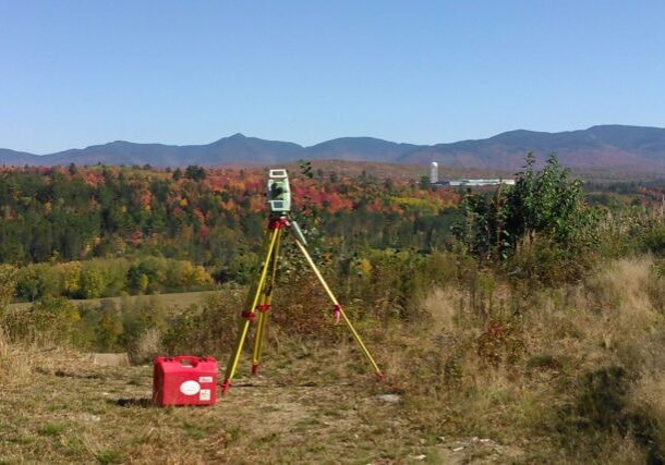
Topographic Survey
The lay of the land.
For a multitude of reasons, it is often necessary to obtain the field data to create a digital model of your property. Depending on the size of your lot we determine the most cost-effective methods to get that data. We will often mix, field survey, GPS, LIDAR, and aerial survey to achieve your goals.
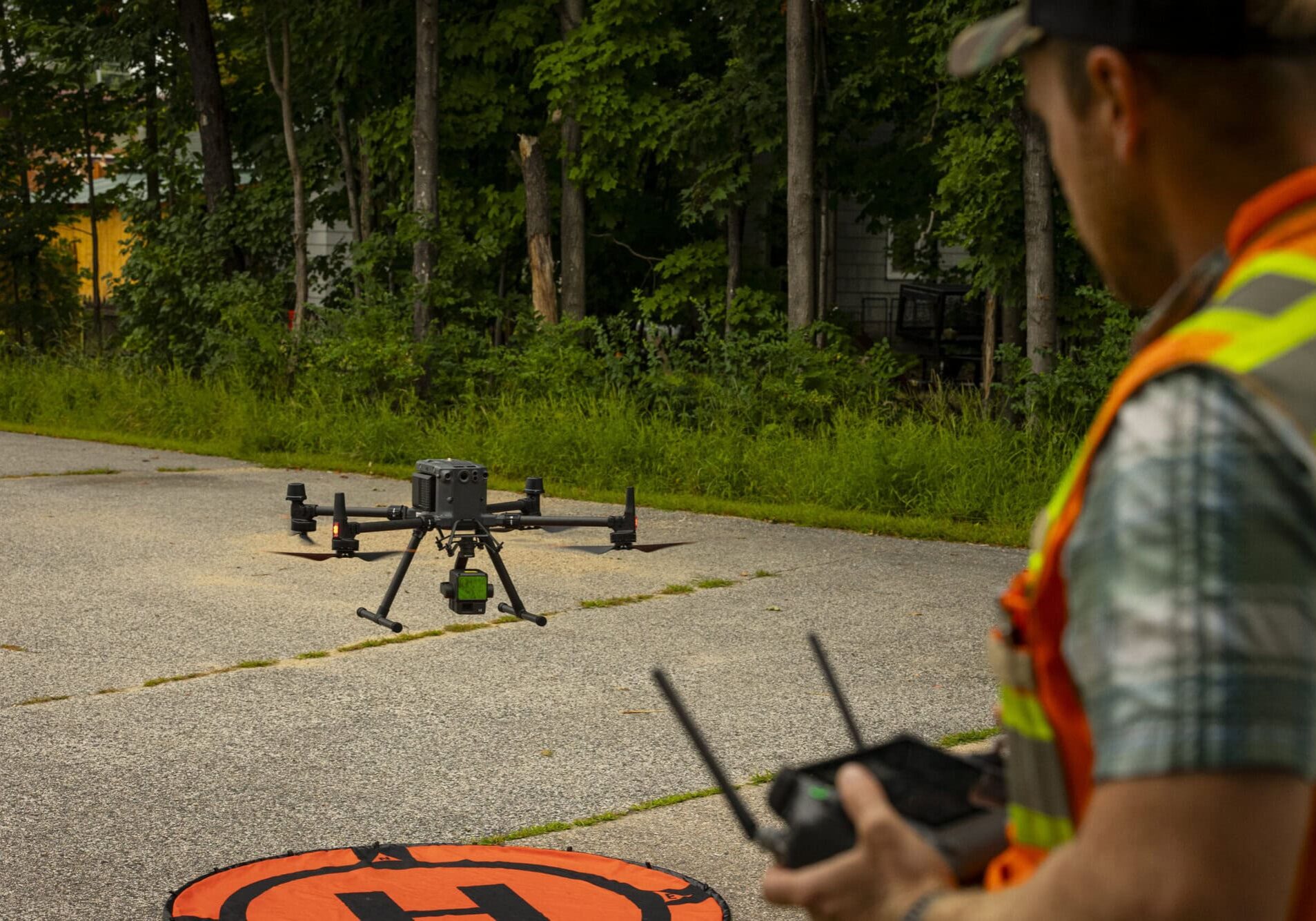
Low-Altitude Aerial Mapping
Aerial insights, Groundbreaking results.
With an FAA-certified drone pilot on staff, we offer low-altitude aerial mapping and lidar services for your project needs. From topographic surveys for engineering design to volumetric surveys for monitoring construction progress, our aerial mapping services are designed to enhance your project’s precision and efficiency. Utilizing advanced software, we provide high-resolution orthophotos and detailed 3D surface models, ensuring that our deliverables are not only precise but also actionable.

Boundary Survey
It’s important to know your limits.
When transferring ownership or making improvements to your site, it becomes necessary to have a complete understanding of the boundaries. Monuments found don’t always tell the whole story when easements and rights-of-way are factored. Additionally, we offer a few options to properly mark your boundary for years to come.

Subdivisions and Boundary Line Adjustments
Sometimes the whole is not greater than the sum of its parts.
When it’s time to increase the total value of your property or make more efficient use of land, give us a call. Subdivisions and Boundary Line Adjustments can be a detailed process with lots of hoops to jump through. HEB Surveyors will seamlessly guide you through the planning and zoning details and help you make the most of your property.
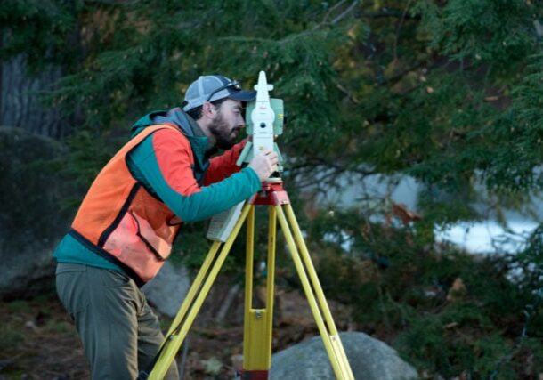
ALTA Surveys
Serious development requires a serious understanding of the property involved.
Whether you are considering purchasing or selling commercial real-estate or want more detailed information about a piece of land, a survey meeting the requirements of the American Land Title Association (ALTA) may be required. ALTA surveys generally require a deeper research into property rights to uncover any issues prior to purchase. HEB’s surveyors have the expertise you need to put your mind at ease.

